AskUs

Aerial & Satellite Imagery
This guide provides information about aerial and satellite imagery held in the map collection and other institution's online collections. Imagery held at Maps & GIS is not available for checkout, however we can provide you with a digital version. For more information about the map collection, please see the Map Resources guide.
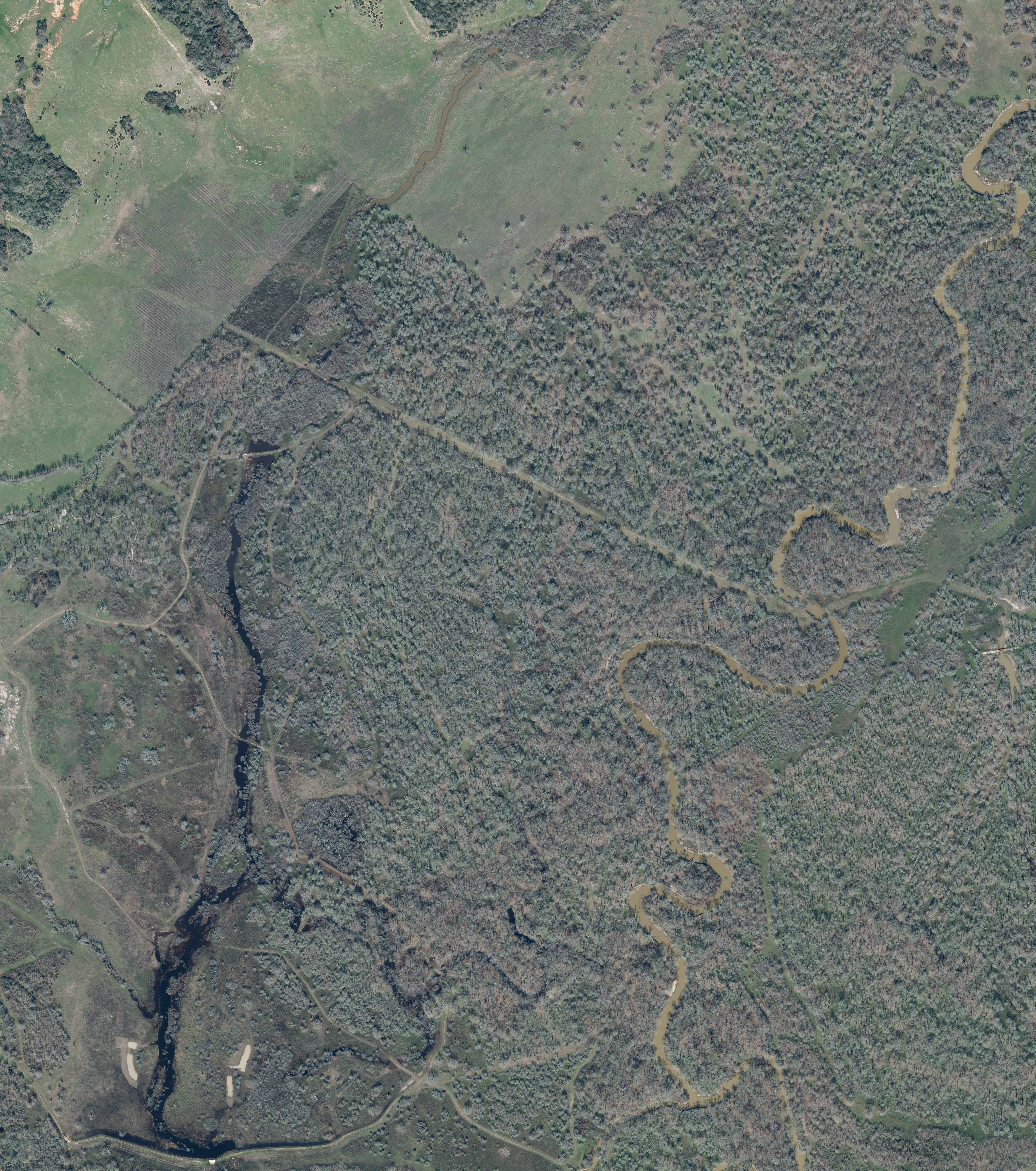
Imagery from the collection

1940 Texas A&M

1984 Austin, Texas